Why it matters
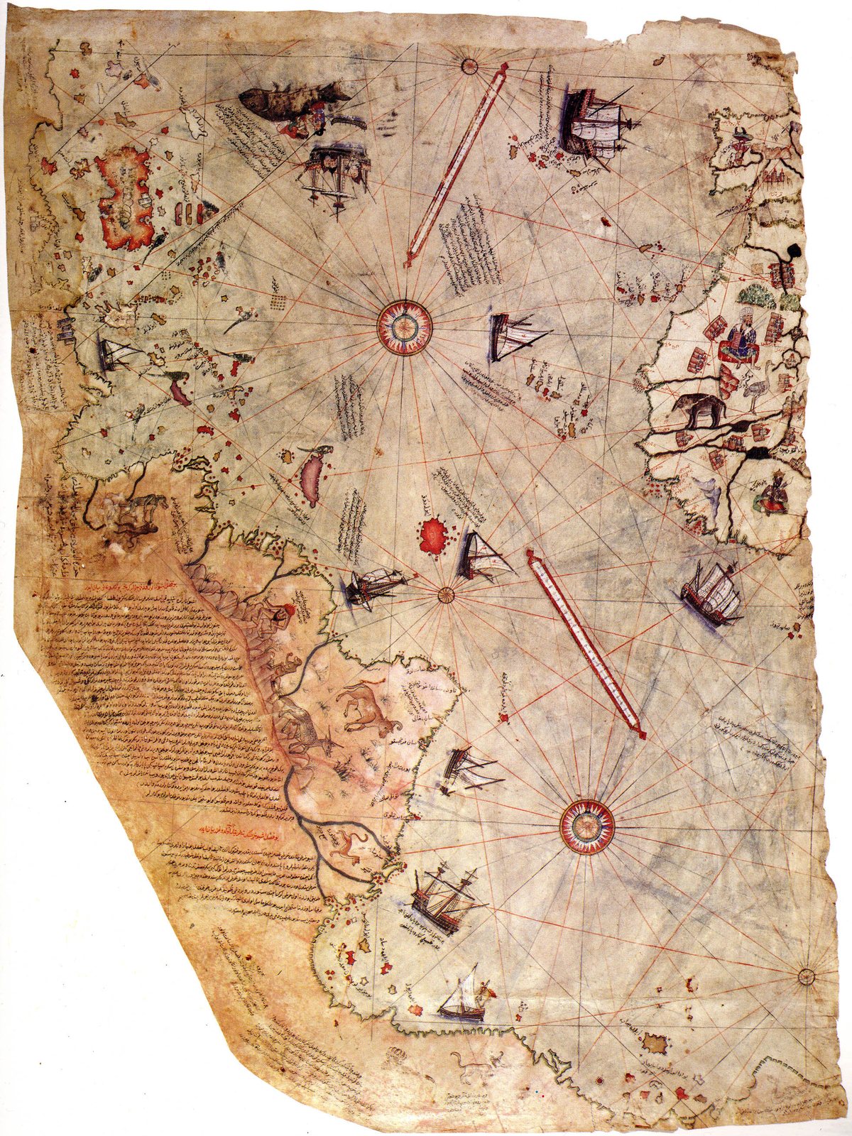
In 1513 the Ottoman admiral Piri Reis drew a world map, noting in its own legend that he compiled it from far older source charts. A southern landmass on it — and on Oronteus Finaeus's map of 1531 — is read by some as the coast of Antarctica, a continent Europe would not sight until 1820. The maps also carry surprisingly good relative longitudes — a problem our own navigators did not crack until the 1760s. It is the question we keep meeting in this expedition: knowledge that seems to arrive already finished.
What mainstream says
Mainstream cartography reads that southern land as “Terra Australis” — a hypothetical continent mapmakers routinely drew to balance the globe — blended with a distorted South-American coast; the match to Antarctica is loose and selective. There is no evidence of a human-era, continent-wide ice-free Antarctic coastline matching the maps, and Charles Hapgood's rapid crustal-displacement explanation is rejected by mainstream geology.
The memory of it
We put the refutation to an independent AI fact-check: the maps are not credible evidence of prehistoric Antarctic surveying, and Hapgood's mechanism contradicts geology — though the ice sheet's age alone does not prove every coastal margin was always frozen. So: a real, genuinely strange artifact; an unproven reading. We grade it speculation and keep hunting — which is exactly where Graham Hancock leaves it too.
Weigh this one carefully. The maps are real and strange — but strange is a clue, not a verdict.
Sources & further reading
Verified references and their own primary citations, so you can check us.